wiki.Alumni.NET - Your Location Information Resource
Image:Pulag.jpg
From wiki.Alumni.NET
(Difference between revisions)

Size of this preview: 720 × 600 pixels
Full resolution (792 × 660 pixel, file size: 117 KB, MIME type: image/jpeg)
(Mt. Pulag GPS Tracks on Google Earth. Ambuklao Dam is on the Southwest.) |
Current revision (08:06, 22 August 2007) (view source) (Mt. Pulag GPS Tracks on Google Earth. Ambuklao Dam is on the Southwest.) |
Current revision
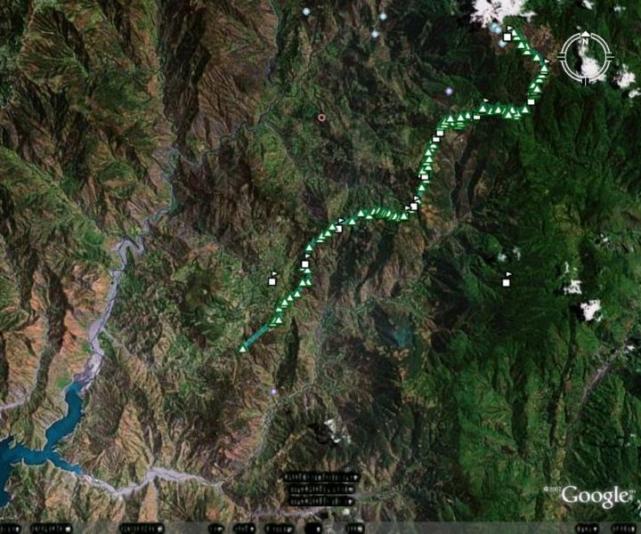
Mt. Pulag GPS Tracks on Google Earth. Ambuklao Dam is on the Southwest.
File history
Click on a date/time to view the file as it appeared at that time.
| Date/Time | Dimensions | User | Comment | |
|---|---|---|---|---|
| current | 08:06, 22 August 2007 | 792×660 (117 KB) | Tomacruz (Talk | contribs) | (Mt. Pulag GPS Tracks on Google Earth. Ambuklao Dam is on the Southwest.) |
- Search for duplicate files
- Edit this file using an external application
See the setup instructions for more information.
Links
The following page links to this file:

