Category:Asia/Philippines/Pampanga/
Pampanga

Pampanga (PSGC: 035400000; ISO: PH-PAM) is a province of the Philippines located in the Central Luzon region. Its capital is the City of San Fernando, Pampanga. Pampanga is bordered by the provinces of Bataan and Zambales to the west, Tarlac and Nueva Ecija to the north, and Bulacan to the southeast. Pampanga also lies on the northern shore of Manila Bay. [1]
The name "La Pampanga" was given by the Spaniards who found the early natives living near the river banks. It also served as the capital of the archipelago for two years from 1762-1764 during the British invasion of Manila. The word pampang, from which the province's name originates, means river bank. Its creation in 1571 makes it the oldest among the seven provinces of Central Luzon. The Province of Pampanga enjoys the distinction of being known as the culinary heart of the Philippines.[1]
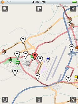
Pampanga is served by the Diosdado Macapagal International Airport, which is located at Clark Freeport Zone in Angeles City, some 16 kilometers north of the provincial capital.[1]
Articles
Gallery
References
Subcategories
This category has the following 4 subcategories, out of 4 total.

